Surveying and Spatial in Hobart
We provide surveying and spatial services using project-appropriate technology and practical data outputs to support planning, investigation and asset decisions.
(03) 6171 2555Cambridge, TAS
Request a scope discussion
Tell us the site, the project stage and the information you need.
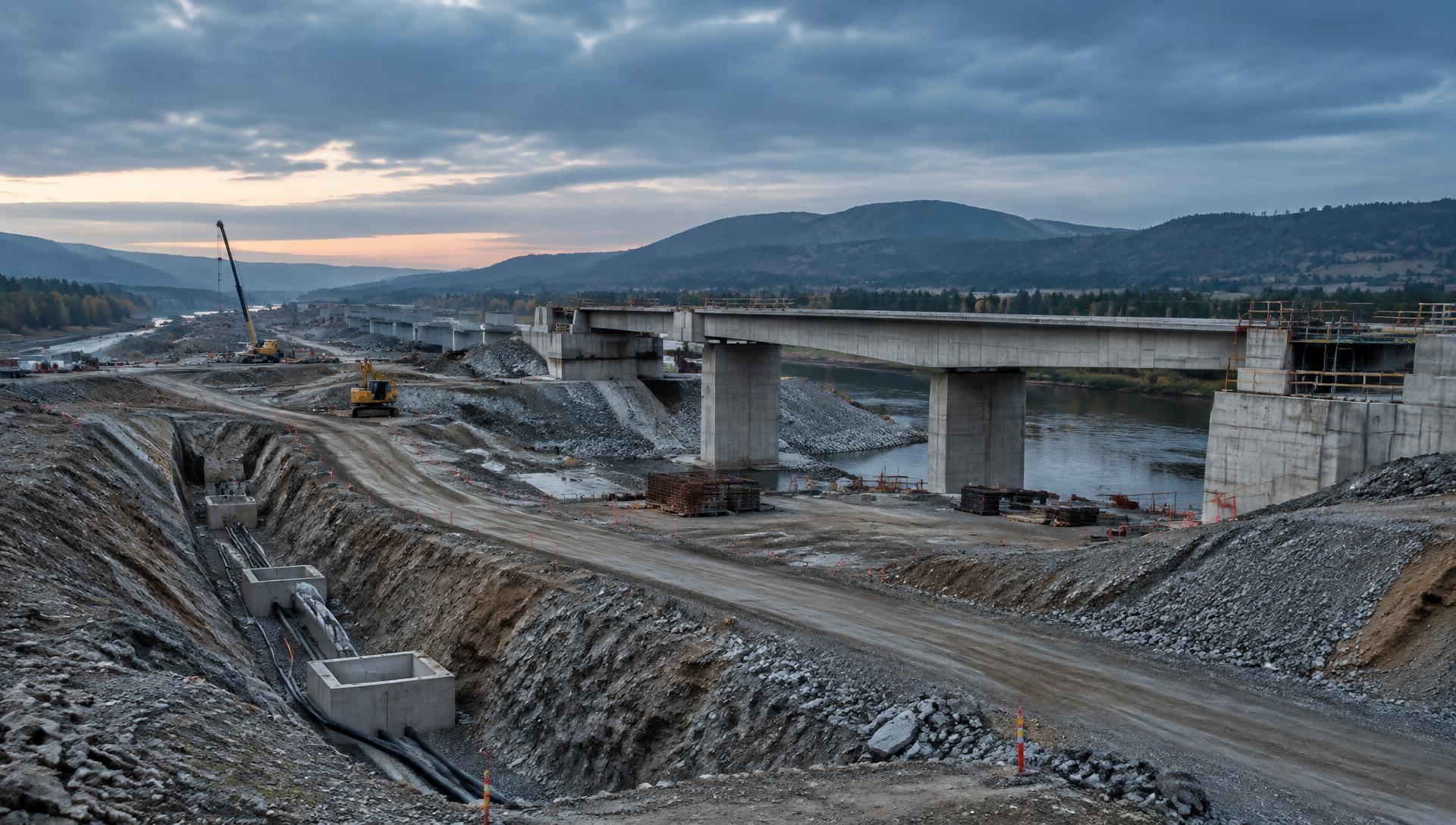
At UDM, we provide surveying in Hobart for civil, infrastructure, construction and asset projects that need dependable spatial information. Our work supports activities such as engineering surveys, road surveys, deformation monitoring, asset mapping and the capture of existing site conditions. We combine field surveying with technologies such as GNSS, total stations, laser scanning and aerial data capture where the project requires them. The aim is to provide information in a form that can support design, construction, monitoring and asset workflows rather than treating data collection as an isolated task. Where dense digital site capture is useful, our reality capture service can add further context. Call (03) 6171 2555 to discuss your survey requirements.

We use surveying methods that suit the stage, scale and information needs of the project. Spatial measurements can support civil design, construction and transport infrastructure work. Repeat observations can help track movement or change where structures and assets require monitoring. Survey data can locate and document physical assets for management and planning workflows. GNSS, total stations, laser scanning and aerial methods can be combined where a project benefits from multiple data sources.
Discuss a survey scope on (03) 6171 2555.
Common questions
- What information can an engineering survey provide?
- Engineering surveys establish spatial information used for design, construction, verification and monitoring. The exact observations and deliverables depend on the project scope.
- What is deformation monitoring?
- Deformation monitoring uses repeat measurements to identify movement or change in a structure, surface or asset over time. A monitoring program is designed around the feature being observed and the required level of information.
- How are different surveying technologies combined?
- Surveyors may use GNSS, total stations, laser scanners and aerial methods as complementary tools. The combination depends on access, accuracy requirements, coverage and intended outputs.
Other UDM services
Projects often need more than one method. Explore the rest of our capability, or contact our team to discuss a combined scope.