Surveyors in Adelaide
Subsurface detection, CCTV pipe inspection, concrete scanning, surveying and aerial capture for Adelaide projects.
(03) 6171 2555Cambridge, TAS
Request a scope discussion
Tell us the site, the project stage and the information you need.
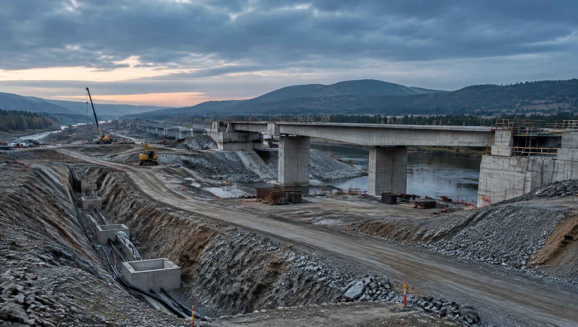
UDM works as surveyors on Adelaide projects that need existing above-ground and underground conditions captured accurately. We bring surveying, ground penetrating radar, CCTV pipe inspection, concrete scanning, reality capture and UAV/LiDAR into one scope, using GNSS, total stations, laser scanners, drones and single, multi-array or mobile radar systems as the work requires. That breadth suits Adelaide infrastructure, civil, construction, property and asset projects where one dataset alone rarely answers every question. We process and interpret the results for planning, design, construction, monitoring and asset workflows. Call (03) 6171 2555 and we can review what your project needs.
Call (03) 6171 2555 to talk through a scope.
Ground Penetrating Radar in Adelaide
Our radar surveys are about turning subsurface uncertainty into usable information. GPR responds to changes in buried materials, so utilities and other features can be identified and positioned without excavation as the first step. We select equipment and survey spacing around the depth of interest, the surface type and the coverage needed, and combine radar with electromagnetic locating on mixed networks. Interpreted outputs can support CAD, GIS and asset records.
CCTV Pipe Inspection in Adelaide
Drainage and pipeline systems are best assessed from the inside. We introduce a camera at a suitable access point and record the internal condition of the line, capturing visible defects, blockages, root intrusion and corrosion as encountered. Equipment selection follows pipe size, layout and access. The footage and written observations give owners and project teams evidence for maintenance planning, condition assessment and any repair decision that follows.
Concrete Scanning in Adelaide
Scanning a slab, wall or floor before intrusive work begins gives a clearer view of what is embedded within it. Ground penetrating radar can indicate reinforcement arrangement, post-tension cables, conduits and pipes while leaving the element untouched. We establish scan coverage and objectives against the planned cutting, coring or drilling, then report what the radar data shows so the works can be planned with the embedded features in mind.

Surveyors in Adelaide
Above and below ground, captured with the method the project needs.
Surveying & Spatial in Adelaide
Reliable measurement supports every stage of a project. We carry out engineering and road surveys, deformation monitoring, asset mapping and existing-conditions capture, drawing on GNSS, total stations, laser scanning and aerial data collection according to accuracy and coverage needs. Where change needs tracking, repeat observations build a record over time. Deliverables are structured so design, construction, monitoring and asset teams share one consistent spatial dataset.
UAV / LiDAR in Adelaide
Aerial capture covers ground quickly and reaches parts of a site that are difficult to survey safely on foot. LiDAR measures distances from returned laser pulses to build dense three-dimensional point clouds of terrain and structures, while UAV imagery documents the site visually. Both datasets support mapping, modelling, surface analysis and asset workflows, with sensor and flight planning matched to terrain, access and intended output.
Discuss a project
Tell us the site, the project stage and the information you need, and we will confirm the methods that suit the scope.